
Drone Mapping: The Ultimate Guide to Transforming Industries in 2026
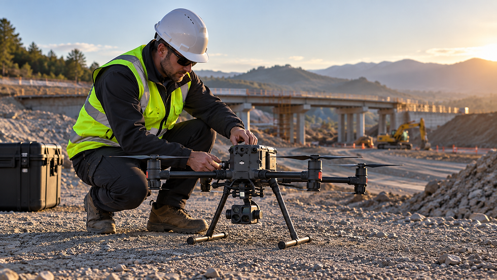
Drone mapping turns aerial imagery and sensor measurements into maps, elevation models and three-dimensional site records. For construction, infrastructure, agriculture and environmental projects, its main value is the ability to capture a large area consistently and revisit it as conditions change. The results are only as dependable as the flight planning, ground control and quality checks behind them.
What is drone mapping?
Drone mapping is the collection of overlapping aerial photographs or other sensor measurements using an unmanned aircraft, followed by processing into georeferenced spatial products. A conventional aerial photograph shows what a site looks like. A mapped orthomosaic is corrected for camera perspective and terrain displacement so that positions can be measured within the limits of the survey.
Depending on the project, outputs may include an orthomosaic, a digital surface model, a bare-earth terrain model where ground measurements are available, contours, volumes, classified point clouds or a textured 3D mesh. The best output depends on the decision the client needs to make.
How drone mapping works
Define the purpose, boundary and required accuracy. Select appropriate ground sampling distance, coverage and outputs before flying.
Review airspace, site hazards, access, privacy and operational requirements. Identify ground control or independent checkpoints where accuracy must be demonstrated.
Fly a planned pattern with adequate image overlap, suitable exposure and a consistent height above the terrain where practicable. Oblique images may be needed for façades and complex structures.
Process the images using photogrammetry or process LiDAR measurements as appropriate. Align the dataset to the required coordinate reference system and undertake quality control.
Deliver usable outputs with clear information about coordinate system, survey extent, resolution, measured accuracy, exclusions and date of capture.
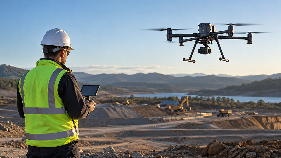
Photogrammetry versus drone LiDAR
Photogrammetry reconstructs surfaces by matching features across overlapping photographs. It is effective for open ground, stockpiles, roofs, construction sites and visible building surfaces. Dense vegetation, reflective water, repetitive textures and weak image overlap can reduce completeness.
Drone LiDAR measures distances using laser pulses and can help recover ground elevations beneath some vegetation, although performance varies with canopy density and equipment. It involves different processing and often higher survey costs. Neither technology measures surfaces it cannot observe.
Thermal and multispectral cameras serve different purposes. Thermal imagery can identify relative surface temperature patterns under suitable conditions; multispectral imagery supports vegetation analysis when radiometric capture and calibration are appropriate. Neither automatically provides survey-grade geometric accuracy.
Where drone mapping is used
Construction and civil engineering
Contractors use repeat aerial surveys for site progress records, bulk earthworks quantities, temporary works planning and communications with project teams. Comparing datasets requires consistent control, coordinate systems and reliable surface classification. Volume estimates should always state the reference surface and assumptions.
Property development and land planning
Aerial mapping provides current site context for feasibility studies, access planning, roof reviews, landform interpretation and visualisation. Drone outputs can complement conventional feature and boundary surveys but do not establish legal boundaries or replace a licensed cadastral survey.
Roads, transport and utilities
Corridors, bridges and infrastructure assets can be documented for condition assessment, asset inventories and design context. Flight restrictions, traffic management, overhead services, vegetation and the required survey accuracy determine the capture method.
Agriculture and environmental management
Repeated flights help document crop variability, erosion, drainage paths, land disturbance and vegetation change. Spectral indices need suitable calibration and interpretation; an attractive map alone does not identify the cause of crop stress.
Quarries, mining and stockpiles
Drones support pit and stockpile records, quantity estimation and planning across extensive or hazardous ground. Accuracy should be checked using independent observations, especially where small vertical errors can affect calculated volumes.
What are the main benefits?
Coverage: capture extensive or difficult-to-access areas without visiting every point on the ground.
Repeatability: document change using surveys with consistent control and capture procedures.
Context: combine measurements with aerial imagery so engineers and managers can understand site conditions.
Outputs: supply orthomosaics, terrain models, meshes and CAD/GIS-compatible data for different teams.
Drones do not always offer the lowest cost or best measurement method. Restricted airspace, poor weather, indoor areas, dense canopy and high-precision set-out may favour terrestrial laser scanning, total stations or GNSS surveys.
How accurate is drone mapping?
Accuracy is project-specific. It depends on image quality, flight geometry, ground sampling distance, camera calibration, GNSS positioning, ground control, processing settings and the distribution of check points. A small pixel size does not by itself guarantee a small coordinate error.
For defensible accuracy claims, require checkpoint residuals reported separately for horizontal and vertical components, together with the coordinate reference system and survey methodology. RTK or PPK positioning can improve camera location estimates but is not a substitute for independent verification.
What does a drone mapping service include?
Project scoping and flight planning for the required output and accuracy.
Risk assessment, relevant authorisations and site arrangements.
Image or sensor data collection, including suitable control and checkpoints where required.
Processing, registration or georeferencing, quality review and delivery.
Agreed files, such as GeoTIFF orthomosaics, LAS/LAZ data, DXF drawings, digital terrain models or 3D meshes.
What affects the cost of a drone mapping project?
Pricing depends on site area, terrain, access, airspace and safety requirements, the type of sensor, control measurements, processing effort and the final deliverables. A simple orthomosaic is a different scope from a terrain survey with independently checked elevations, contour generation and repeated site visits. Ask for an itemised quote rather than assuming a fixed per-hectare rate.
Drone regulations in Australia
Commercial operations must meet relevant Civil Aviation Safety Authority requirements and airspace restrictions. The applicable rules depend on aircraft, pilot, operating category and location. Survey work near airports, over populated areas or close to people requires particular attention. Confirm permissions and operational conditions for the actual project before flight.
Choosing a drone mapping provider
Ask how the survey will be controlled, what measurable accuracy will be reported, how inaccessible and vegetated areas will be treated, and which software-ready formats will be supplied. Confirm whether boundary identification, certified surveying, design drafting, processing of historical data and repeat flights are included or excluded.
Drone mapping services in Melbourne and Victoria
XPATIAL provides drone mapping and aerial surveying services for construction, infrastructure, property and land projects.
Projects that require complementary building measurements can also use our 3D laser scanning services.
To discuss the site area, required outputs and project constraints, use the XPATIAL contact page.
Frequently asked questions
Can drone mapping replace land surveying?
No. Drone mapping is a valuable measurement and documentation method, but legal boundary determination, some high-accuracy work and other regulated surveying tasks need appropriate survey professionals and terrestrial observations.
Can drones map under trees?
Ordinary photography generally records the visible canopy. LiDAR may capture some ground points through gaps in vegetation, but dense canopy can still prevent reliable ground coverage.
How long does drone mapping take?
On-site capture may be completed within a single visit for a straightforward site, while processing, checks and additional drafting can take longer. Weather, permissions, complexity and deliverables determine the schedule.
What files should I request?
Request formats your design and GIS teams can actually use, along with coordinate system details, survey date and quality information. Common examples are GeoTIFF for orthomosaics, LAS/LAZ for point data and DXF for linework.


Comments